
Sci-Tech
Iran utilizes 'Khayyam' satellite imagery to update spatial data, equips 24 new GPS stations
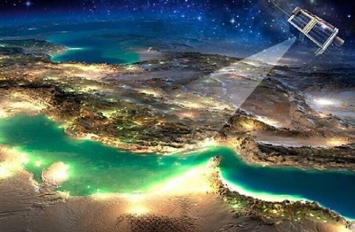
The head of Iran’s National Cartographic Center (NCC) has announced the integration of imagery from the Khayyam satellite with GPS and gravimetry data to update the country’s spatial information, track land use, and monitor land subsidence.
source: en.isna.ir


